How to Achieve An Accurate Underground Utility Scan
An accurate subsurface utility location is a must before any excavation work. The same goes for construction projects that may affect any utilities beneath. To achieve this, service locators use different methods & special equipment in underground scanning.
What is underground scanning?
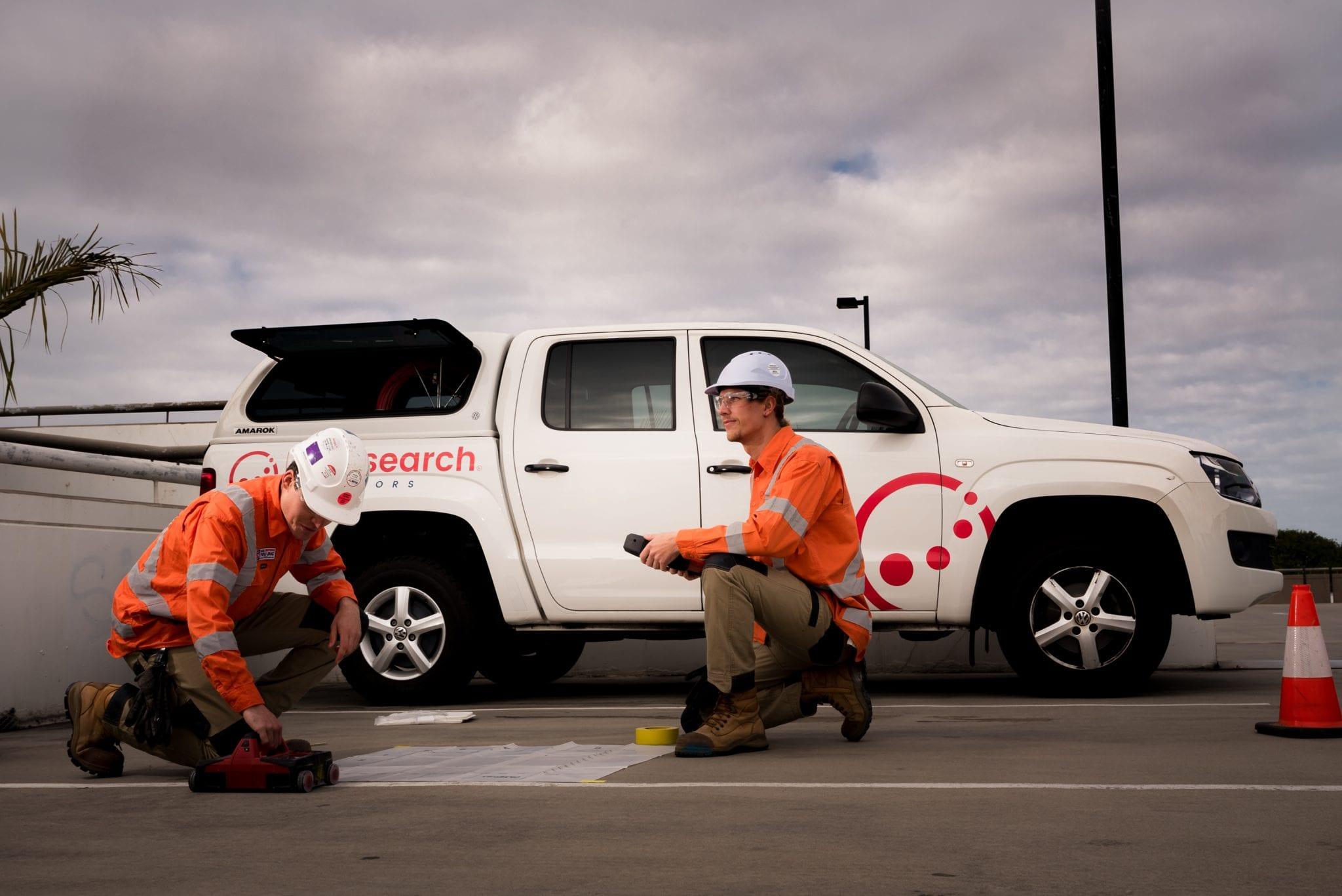
Underground scanning refers to the act of detecting & locating underground structures, particularly utilities. The methods used here include radio detection, ground penetrating radar (GPR) & 3D scanning services. Sydney locators must always be fully-equipped when working on-site in case they need to use more than one method or piece of equipment.
How to achieve an accurate underground scan?
By assessing the area to be scanned
Before scanning, locators should assess the area first. This is important because some methods & equipment work best in certain conditions while others are less effective. So, by evaluating the area first to see which ones to use from GPR to 3D scanning services, Sydney locators can conduct the best possible scan.
By using the right method & equipment
Depending on the Quality Level needed, Sydney professionals use a variety of methods & special equipment to conduct an accurate scan. The following are some.
- Ground Penetrating Radar (GPR)- This method uses radar pulses to look for non-conductive utilities below the ground. These include post tension cables, conduits & stormwater drainage pipes. Locators prefer using GPR as it does not require physical contact with utilities. Hence, it can be used to locate services in difficult-to-access areas. However, the effectivity of GPR depends on a number of factors like the type of soil in the area.
- Radio Detection- This method uses an electric current to detect underground structures made of conductive or metallic materials. However, given its nature, it cannot detect non-conductive utilities; hence, the use of GPR.
- Concrete Scanning- Concrete scanning identifies shallow features within concrete structures like walls or floors. Particularly, the critical information required to calculate a concrete floor’s load bearing & capacity are derived from a slab scan. Sydney locators can determine the following through a slab scan:
- Position of any footings or beams
- Size, location & spacing of reinforcement/s
- Thickness of the slab
- Vacuum Excavation- Also known as non-destructive digging (NDD), this method uses an air vacuum & highly-pressurised water to remove unwanted material underground. With dry & wet waste removed, service locators can confirm the horizontal & vertical position of subsurface assets accurately. This particularly applies in areas where the utilities have not been previously identified or if the damage risk is high.
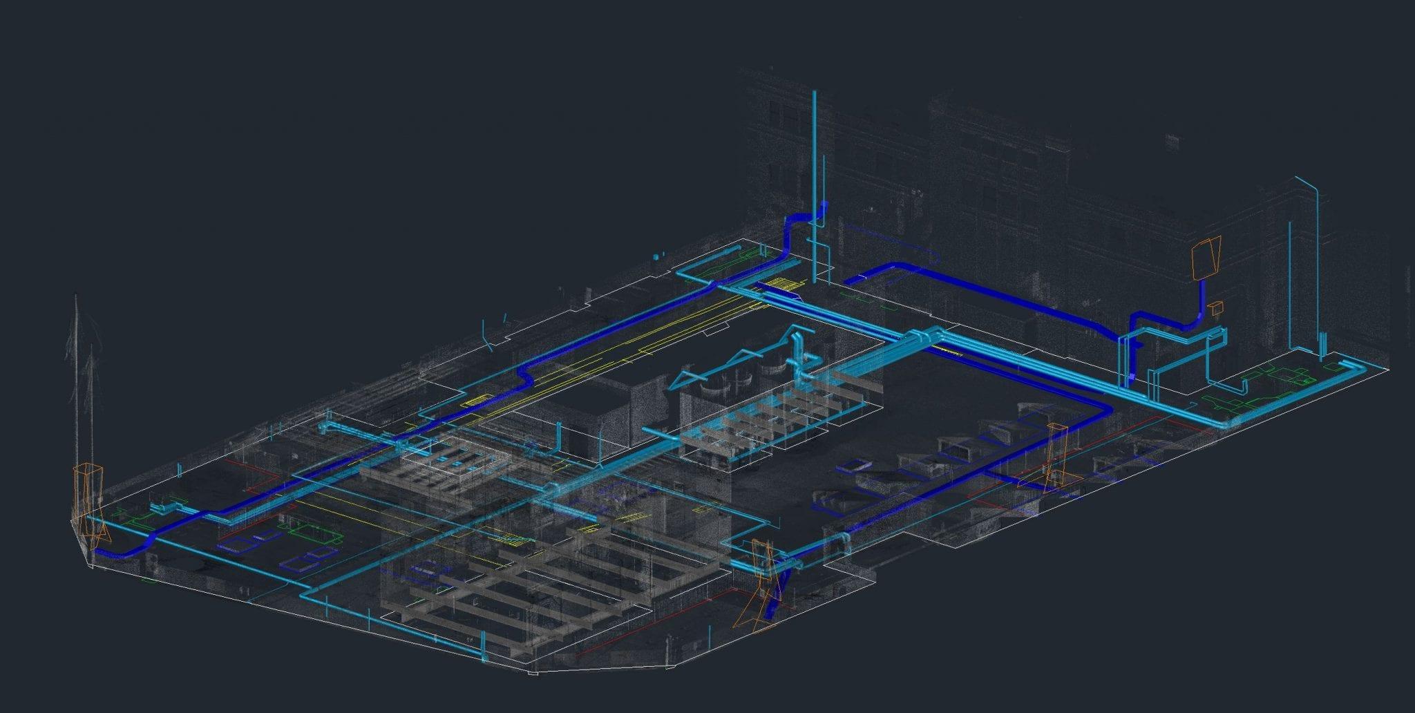
- 3D Scanning- 3D scanning uses a line of laser to capture & record the details of its target. The data gathered can then be used to create a 3D model. Locators use this method for different purposes. One of which is to permanently record underground utilities, in conjunction with other service locating methods like GPR.
By applying service location & technical expertise
The expertise of service locators is critical to fulfilling both points above. It is only through a deep understanding of utility location that they can make the proper assessment & determine the right methods & equipment to use.
Final Words
Along with the points mentioned above, all relevant & available documents must be gathered through Dial Before You Dig (DBYD). This must be the first step before the on-site assessment in underground scanning. With that, achieving an accurate scan does not only rely on a locator’s knowledge or the methods used but in all the aforementioned points.