
Detecting sinkholes and other imperfections under the ground requires advanced technology to scan and locate them. That is because these voids are sensitive to ground shakes. One small mistake may lead to a catastrophic disaster. However, a simple Ground Penetrating Radar (GPR) survey may help solve these problems. This is a non-invasive procedure that lets GPR surveyors detect holes in the ground through electromagnetic waves. This also benefits a lot of industries. Read the article to know more about the advantages of GPR surveys.
Locate Previous UST
GPR is a great tool for locating underground storage tanks (USTs) as well as their excavation areas. Professional surveyors can locate USTs through the most used tools in utility locating such as cable and pipe locators combined with the latest GPR surveys and scanning devices.
The drilling location for soil and water samplings are chosen carefully since having an unlimited choice of are to drill is not a pretty option. One best location is where former underground storage tanks were but have now been removed. Drilling locations are preferably chosen in and around excavation areas of former USTs to determine the levels of possible contamination. A few feet of difference could mean catching or missing contamination. By using GPR, it helps people know the exact excavation locations if they lack or have inaccurate records.
Experienced GPR surveyors come in handy during unexpected situations and traversing unpredictable areas. No matter whether it’s for locating past UST excavation areas, UST themselves, or other underground targets, one should look for a GPR surveyor who is an expert in geophysical surveys to assist you in environmental investigations.
Inspect bridges
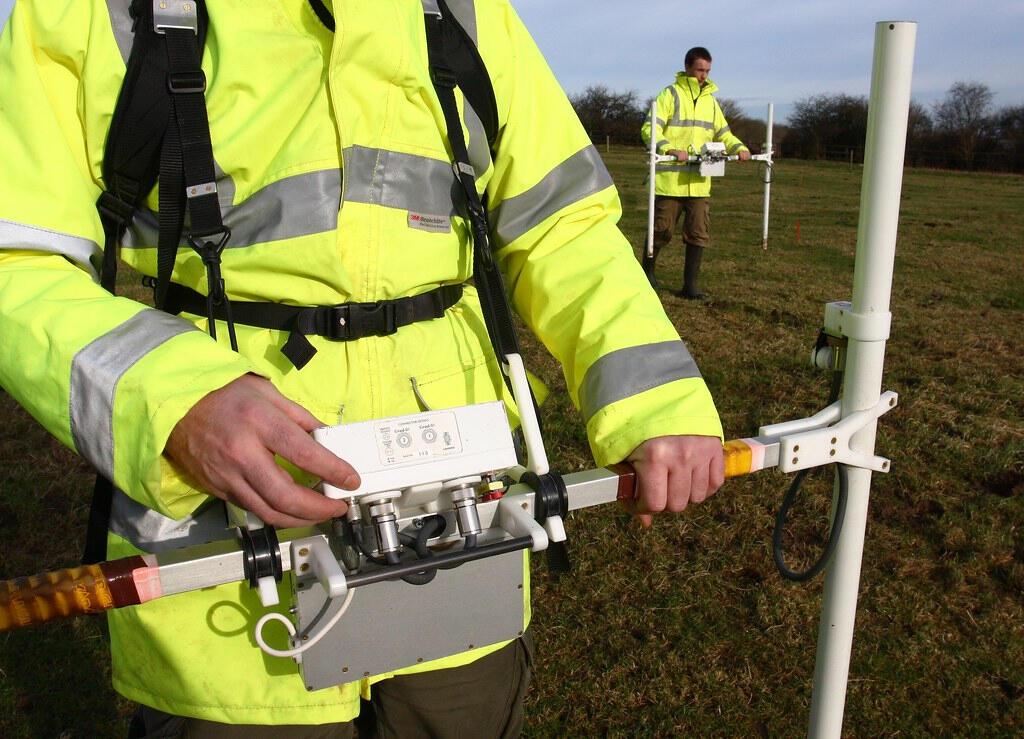
GPR technology can be quite advantageous for bridge inspection. This method also helps cut down the GPR survey cost. Further, while acoustical methods are very subjective, GPR data is quantitative. Typically, a cart-based system – including an antenna and a controller – is used, in which data is collected at a walking pace. The radar technology looks for weakness in the returning signal from the reinforcing steel; the weaker the signal, the more deteriorated the concrete. The technology can show the location and depth of rebar, tie bars, and dowel bars.
Used for quality assurance
GPR can also be used for quality assurance/quality control (QA/QC) of a new bridge deck, measuring whether the depth of the rebar meets the proper specifications. Concrete cover measurements are most often done during QA of the bridge deck after it has been poured to ensure the top rebar mat is at the depth range specified in the bridge plans. The measurements involve collecting data with a ground-coupled antenna along one or more profile lines to record the arrival time of the rebar reflections. Then, a core is drilled at one of the rebar locations to measure the rebar depth. This is input into the processing software, which calculates the radar wave velocity that is in turn used to obtain the depths of the rebar at other locations along the data-collection profile line. The GPR survey cost for these kinds of jobs is a lot lower compared to traditional, invasive methods.
Detect bedrock, water table, or stratification of the ground
Mapping for bedrock has a lot of applications like building a private well for your property or mining resources. Underground aquifers can be determined through gridded, scans provided the natural environment is compatible with geophysical mapping techniques.
Before the emergence of state-of-the-art non-destructive mapping tools, such as GPR surveys, traditional methods like drilling or digging were the main ways to find the depth of the bedrock layer beneath the surface. These methods are expensive and intrusive to the land whilst only focusing on test hole areas. While drilling and excavating are still widely used, they also have limits when performing the job. Geophysical mapping, in comparison, is less time consuming and can give coverage of a much larger area than could be done by one drill crew at the same time. As a result, the use of geophysical equipment in construction operations has become even more prevalent since the turn of the decade. Cooperation with environmental and engineering companies on the same project allows for a multitude of subsurface data to be assessed. When the geophysical data is compared and combined with geotechnical samples, one can create an even more detailed subsurface model.
Sinkholes are very unpredictable. The soft ground above it can collapse at any time if these are not solved quickly. Detecting and locating the precise location of these potential hazards is the first step in preventing a disastrous event. Hiring expert GPR surveyors to help people accurately pin the locations of these voids may help local officials save lives and properties too. This is the first step in mitigating the huge risks that these holes provide.