50 Photos of Earth Taken by Satellites
It's only a small selection of photos taken by NASA.
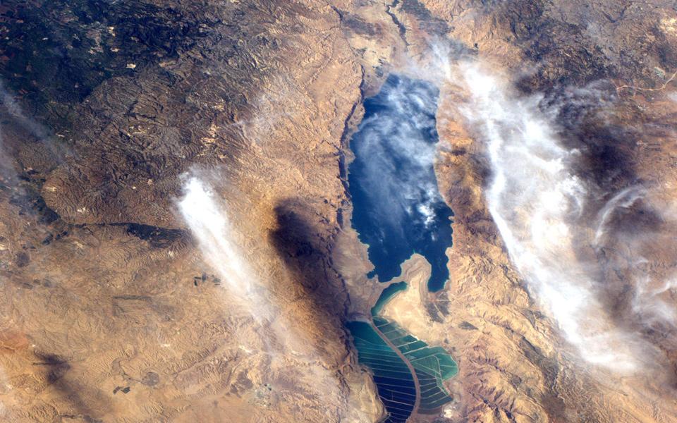
Dead Sea
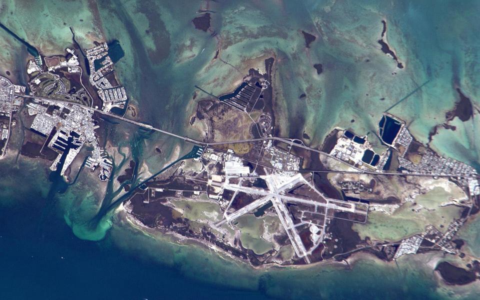
Naval Air Station Key West, Florida
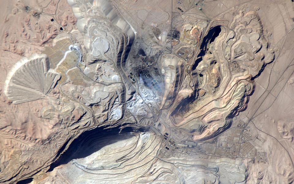
Chuquicamata copper mine, Chile
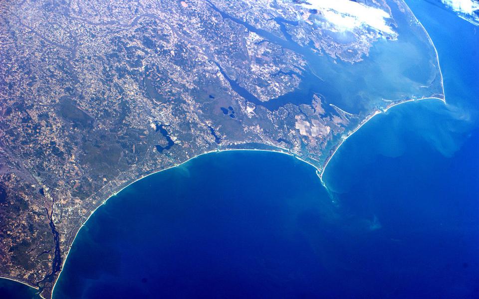
Wilmington & Onslow Bay, NC
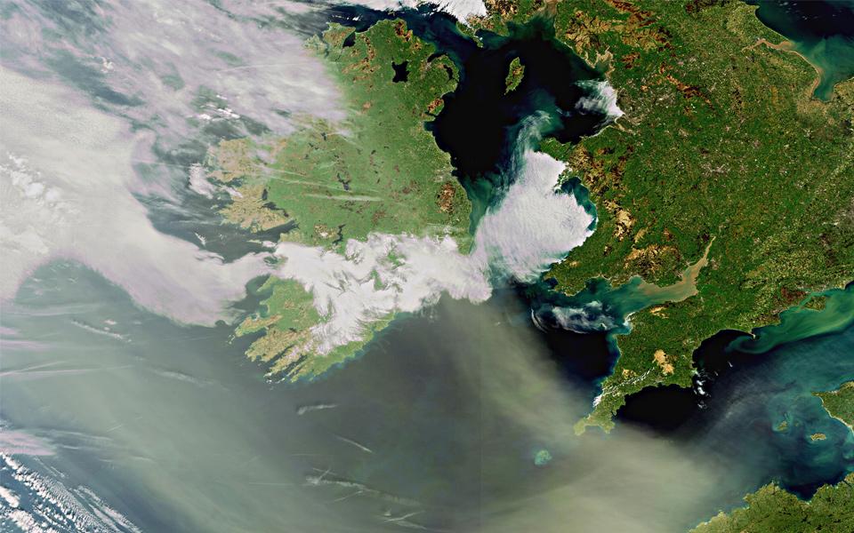
Some Italian city
Massive iceberg

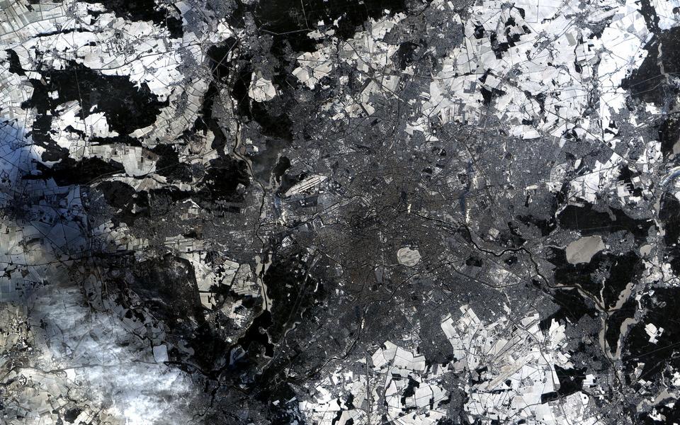
Berlin covered by snow
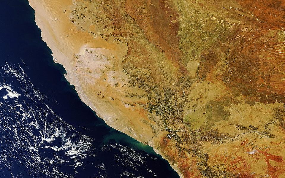
Somewhere in Africa
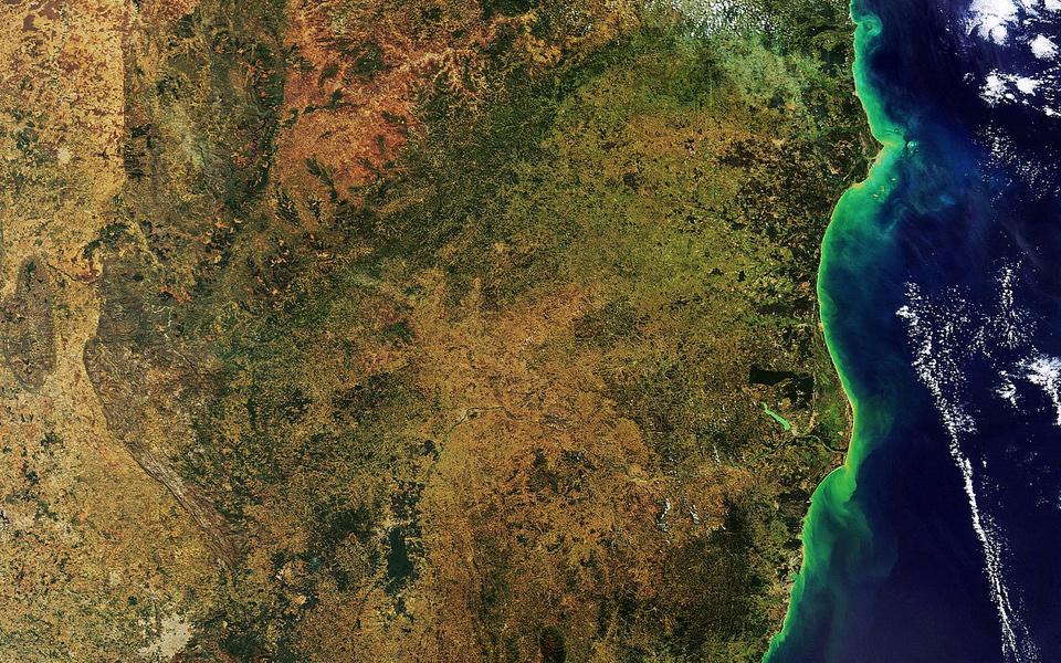
Brazilian coast
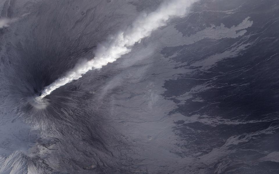
Activity at Klyuchevskaya Volcano
Eastern coast of the Kamchatka Peninsula

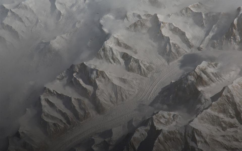
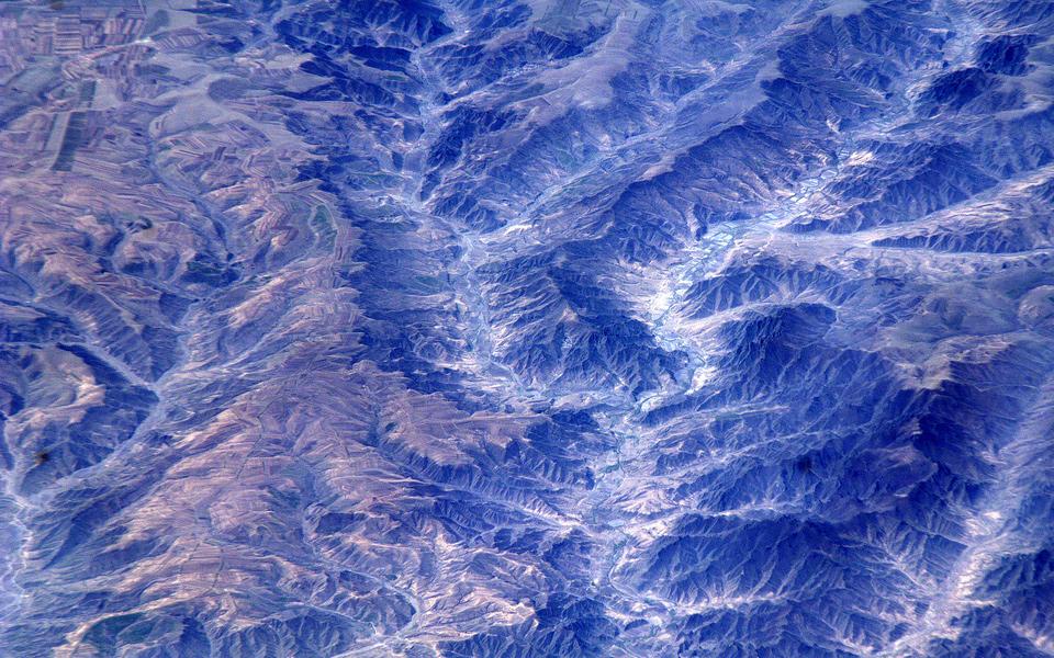
Tien Shan (China)
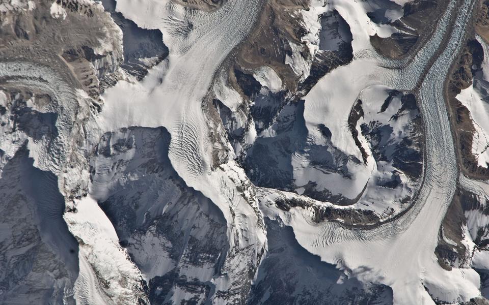
Mount Everest
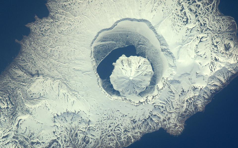
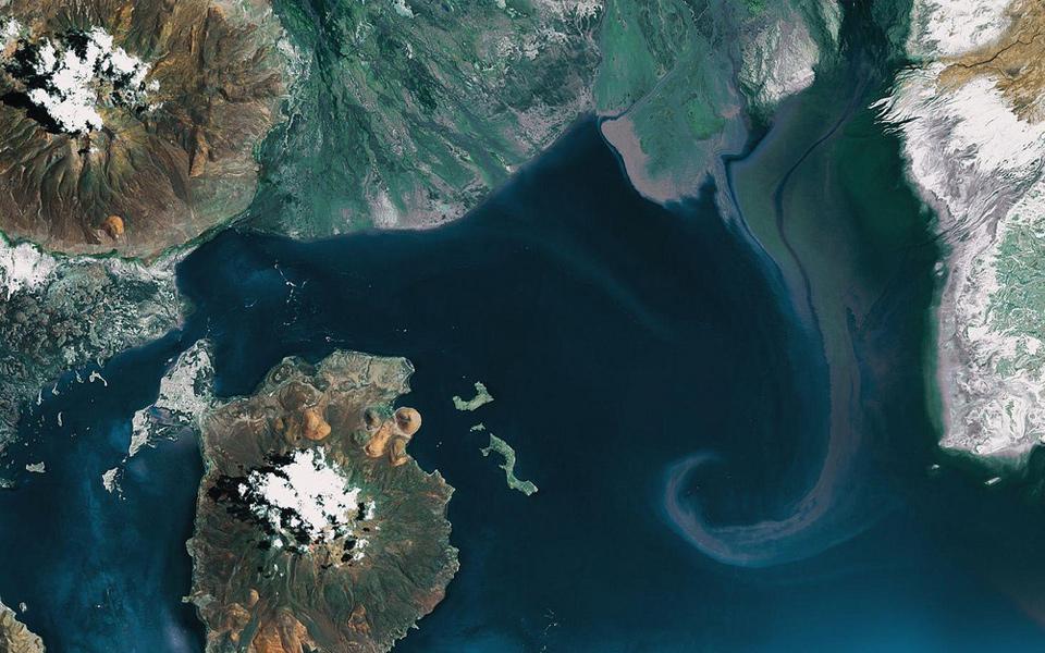
Volcano on the island Onekotan - Russia
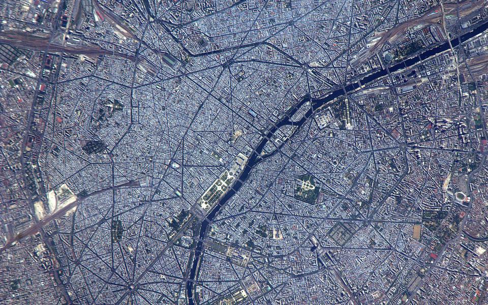
Paris (France) by day
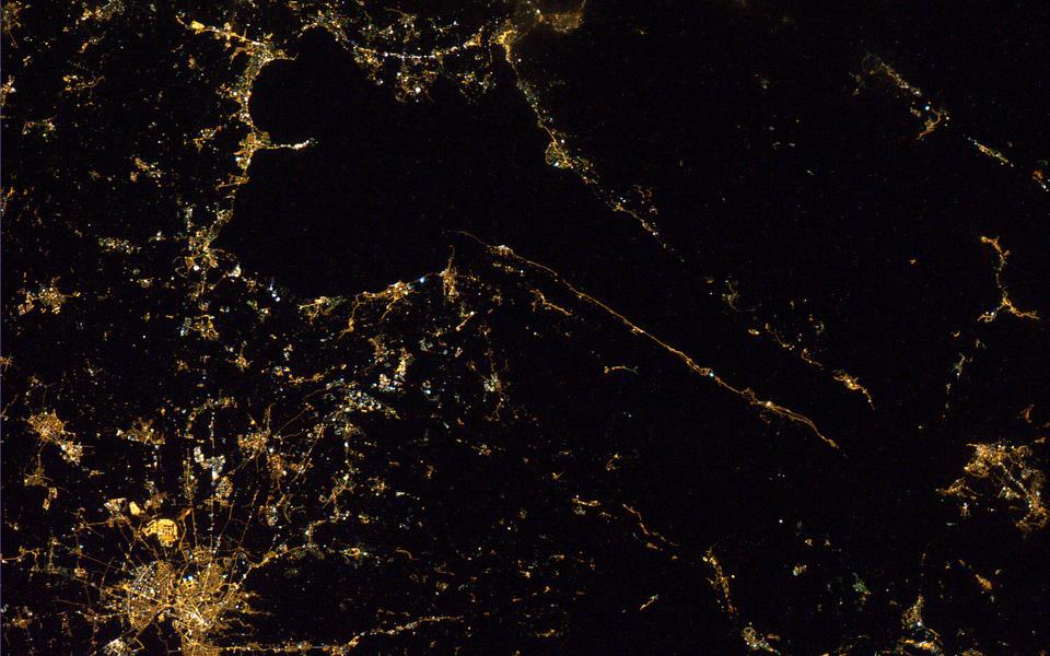
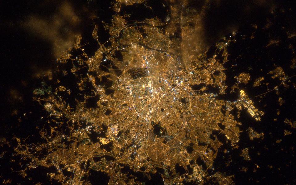
Paris (France) by night
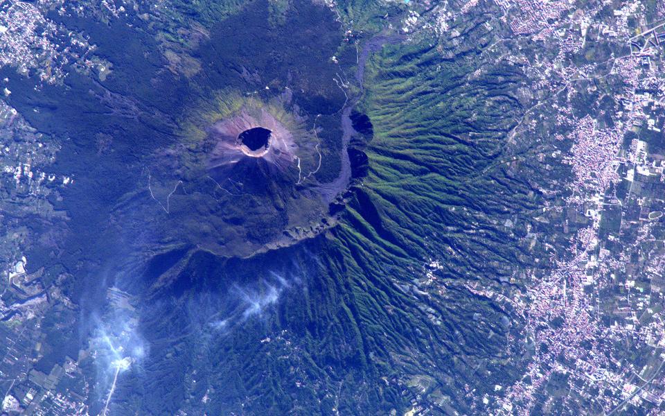
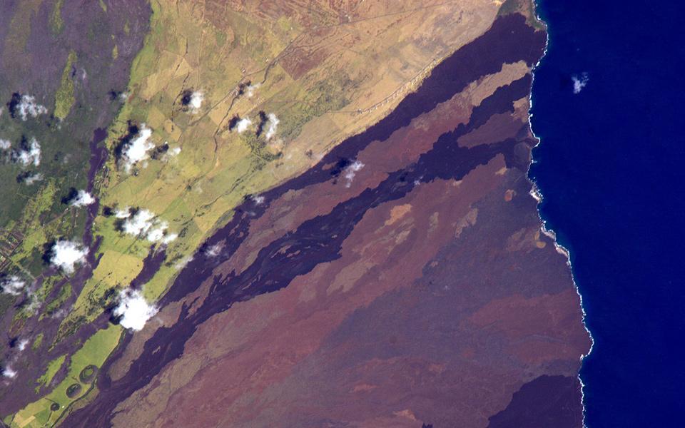
Vesuvius volcano (Italy)
Barcelona (Spain)

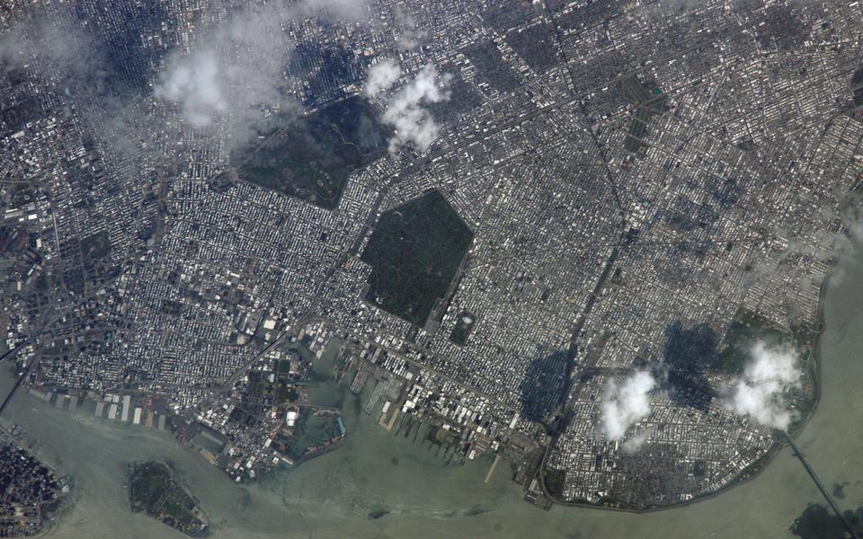
Brooklyn, New York
South American lake
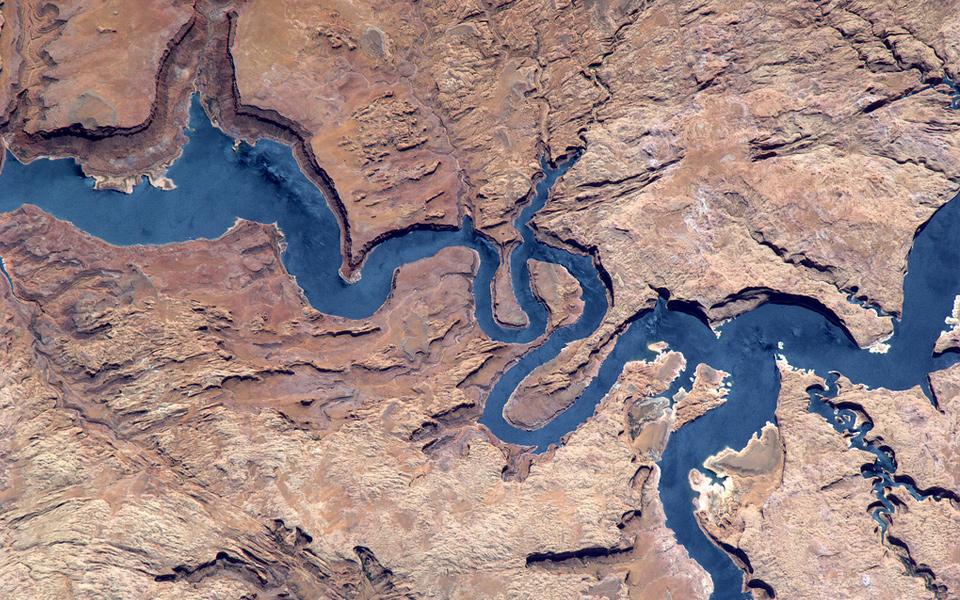
Lake Powell, Utah
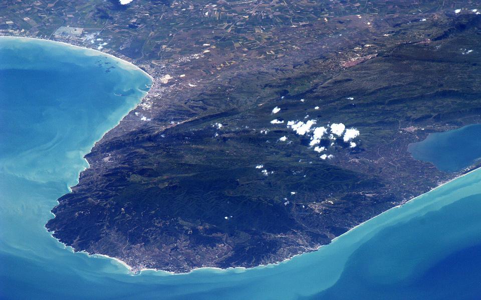
Gargano, Italia
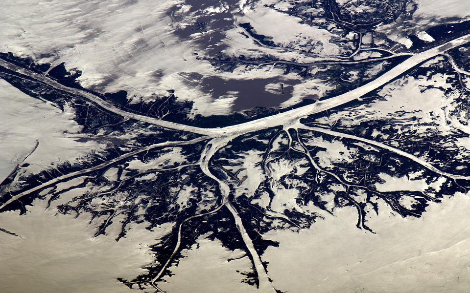
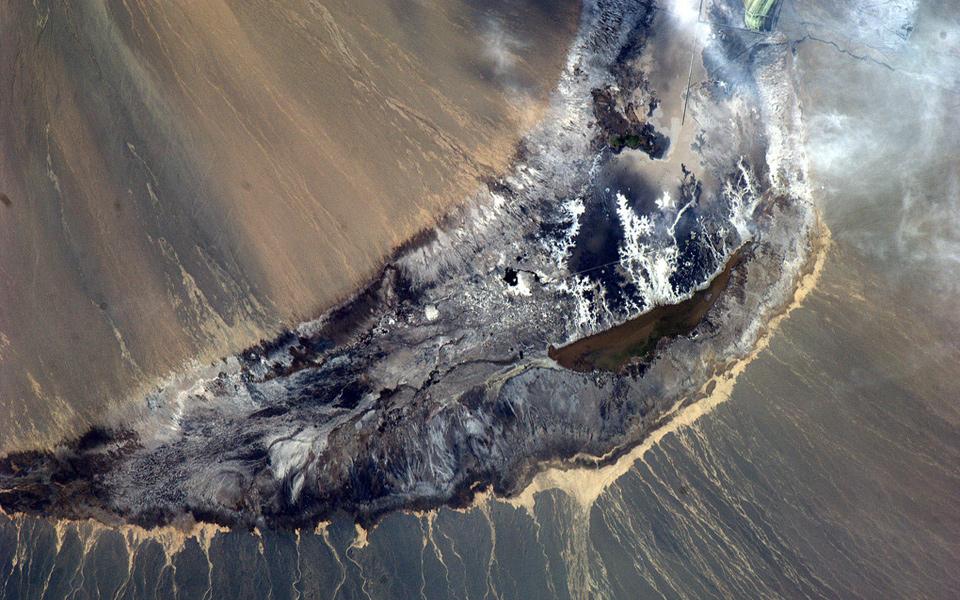
Frozen delta
Hills / Colline
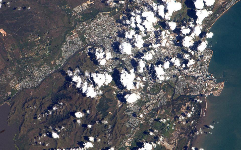
Townsville, Queensland, Australia
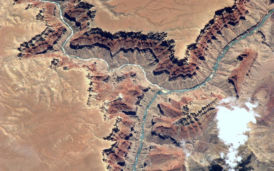
Grand Canyon, Arizona
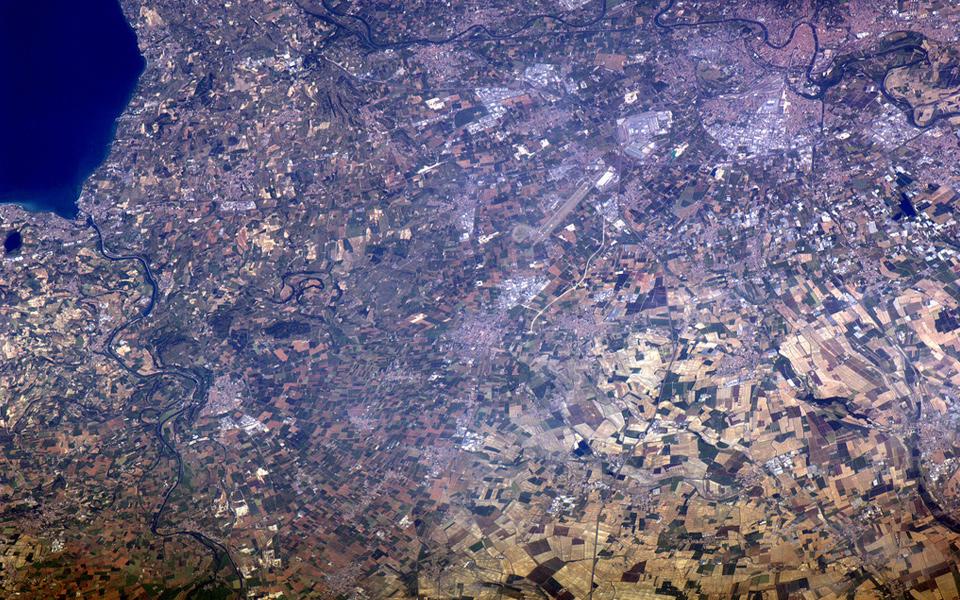
Lago di Garda e Verona, Italia
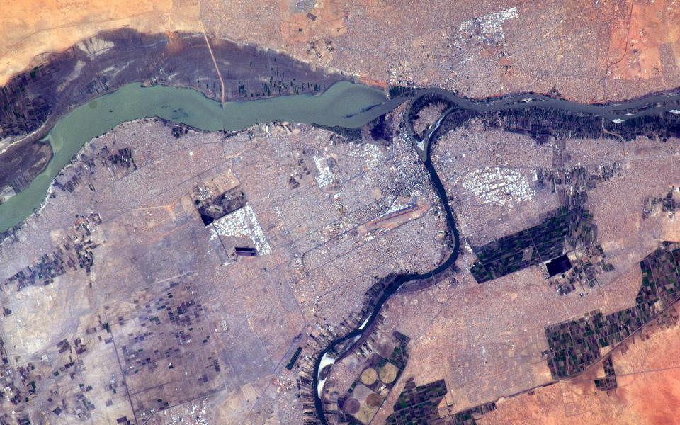
Khartoum, Sudan
King Sound coastline, Australia

Rewari, India

Pampa Sitana, Peru

China, western region
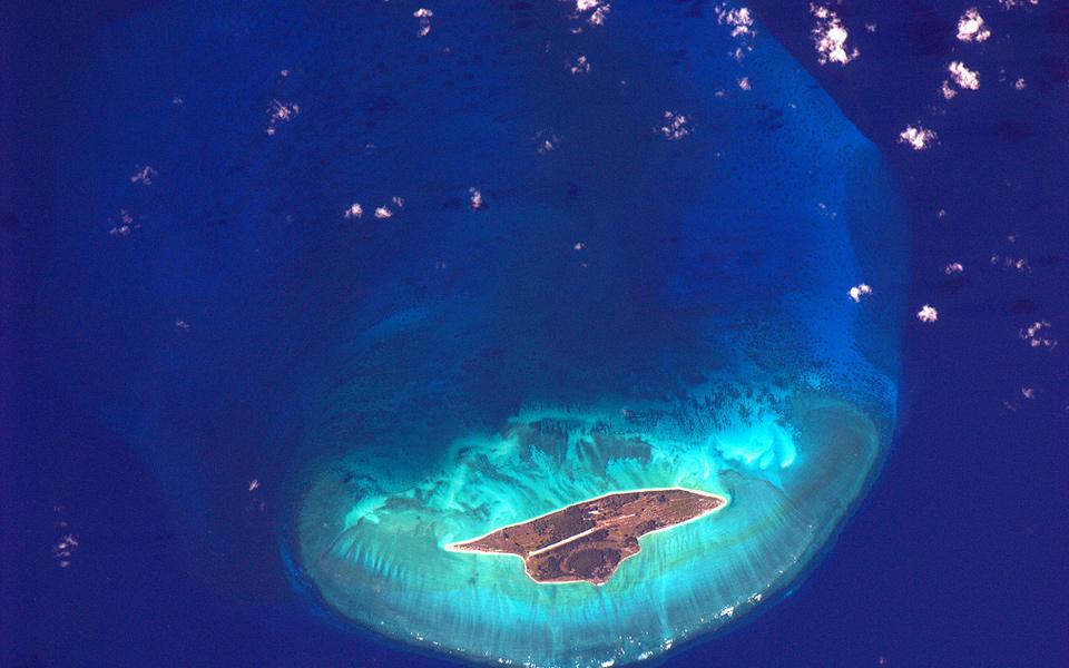
Juan de Nova Island, Madagascar
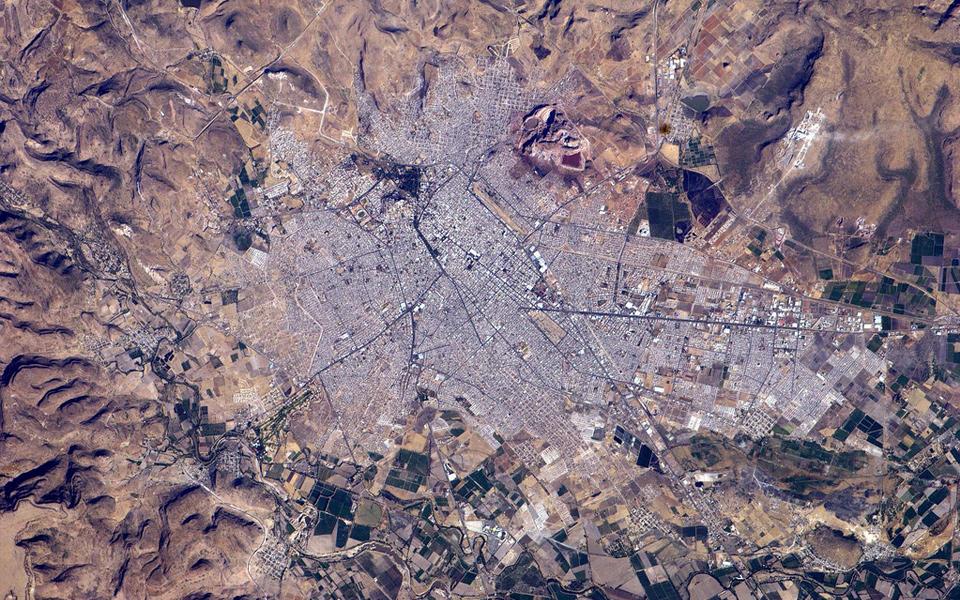
Durango, Mexico
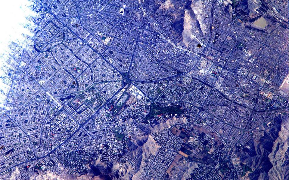
Lima, Peru
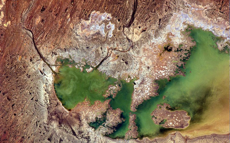
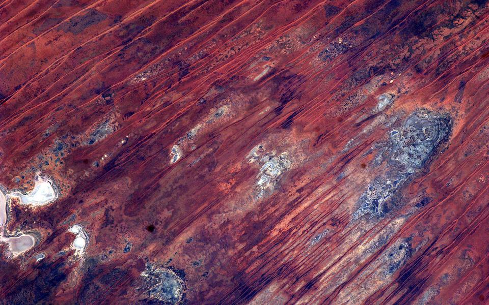
Lake Cadibarrawirracanna, Australia
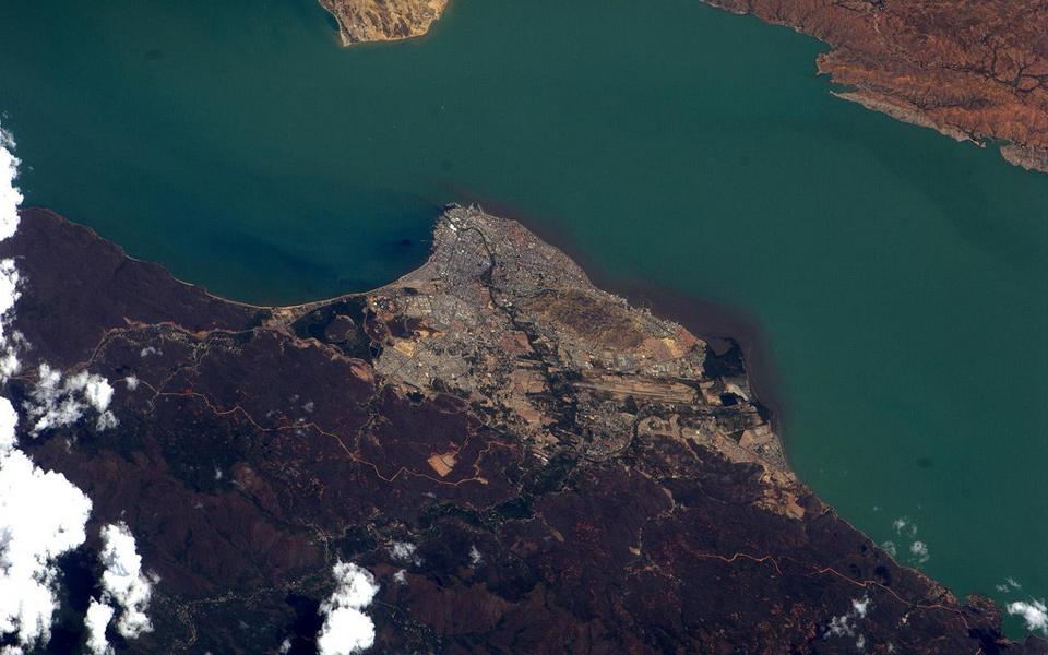
Cumaná, Venezuela
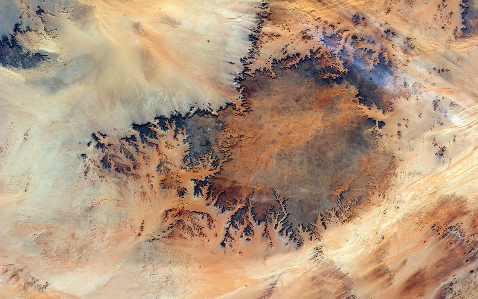
Egypt, desert
Australia, near Lake Willis
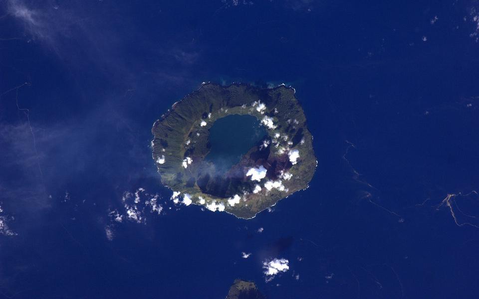
Tofua Island, Tonga
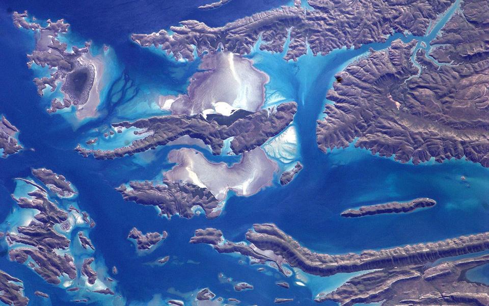
Kimberley coastline, Australia
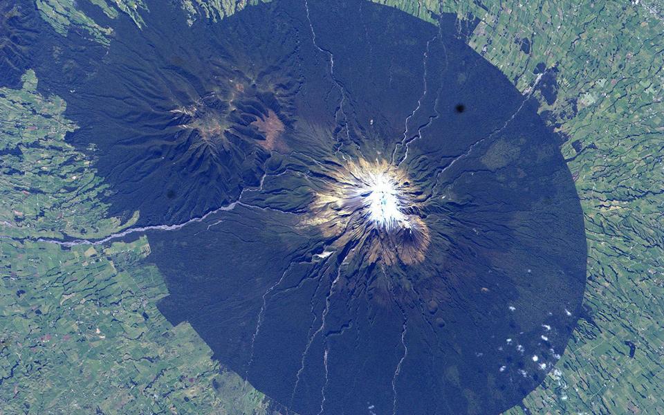
Mount Taranaki/Mount Egmont, New Zealand
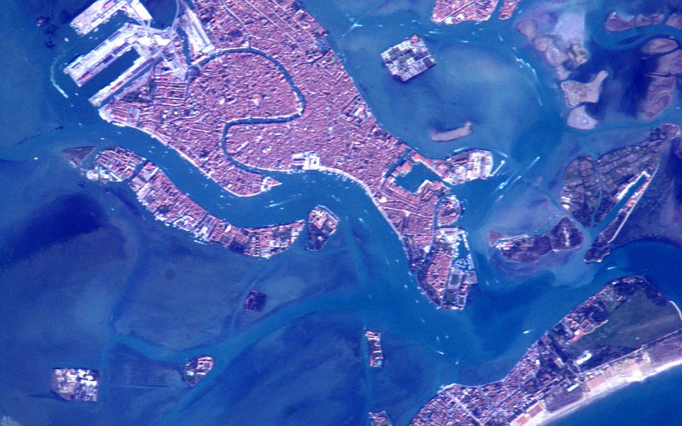
Venice, Italy
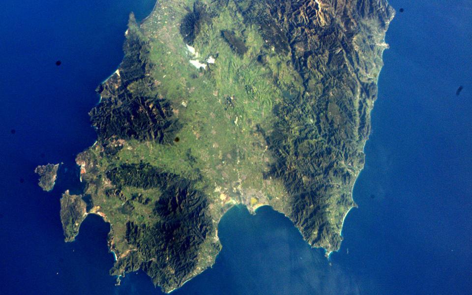
Sardegna, Italy
Earth from space (dust and plankton)
South Point Park, Hawaii
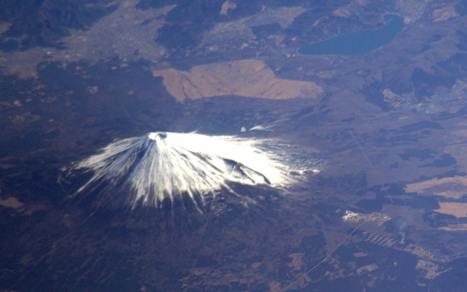
Mount Fuji, Japan
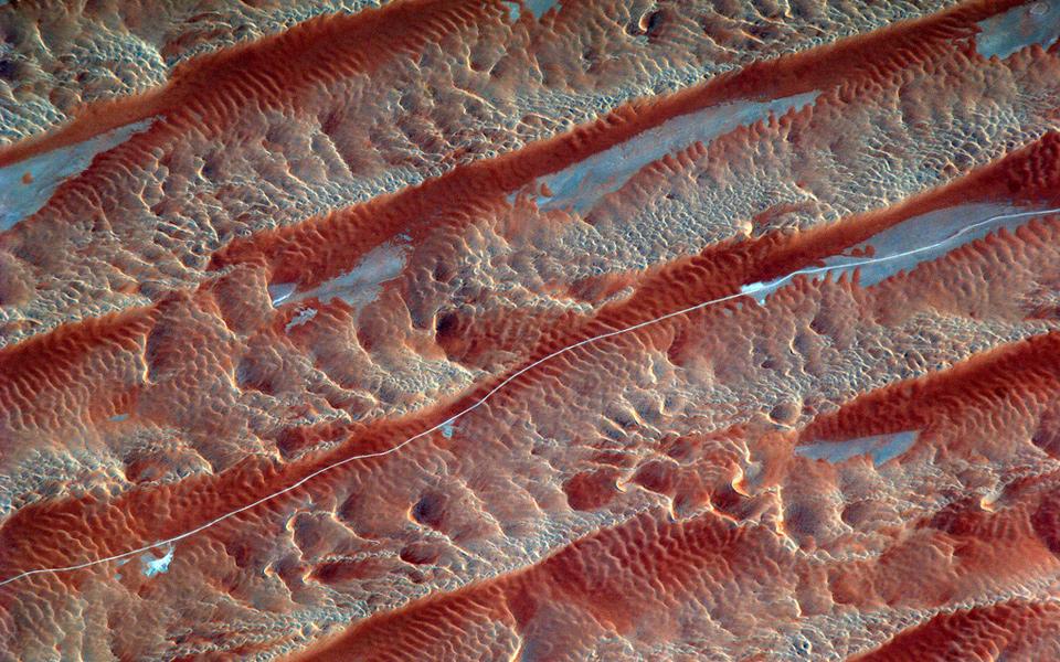
Saudi Arabia, southern desert
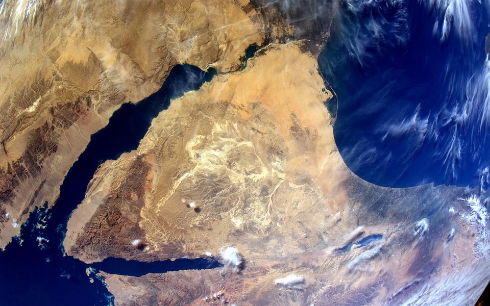
Sinai Peninsula
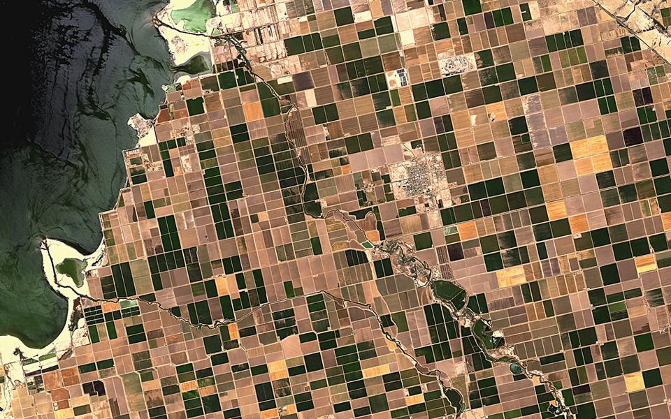
Irrigated desert
Source: NASA